
 A1 · IMG_7068.JPEG
The business draws on decades of experience in natural resource and fire management. Home is Noojee — a town destroyed by major bushfires in 1926 and again in 1939 — a daily reminder of the intersection between people and fire-prone environments.
Work has ranged from local vegetation and biodiversity decisions to long-term landscape simulation, satellite fire mapping and statewide risk analysis.
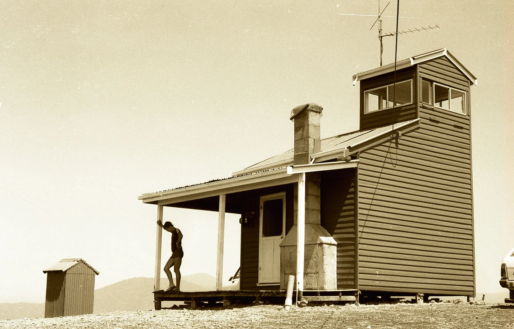
The historic Eildon fire tower photograph was taken in January 1983 during drought, before the Ash Wednesday fires. It provides a personal connection between field experience and the analytical tools used today.
Professional capability includes spatial analysis, GIS, remote sensing, fire behaviour modelling, large-scale computational processing and research collaboration.
 A2 · more_scan247.webp
Eildon fire tower, January 1983. Personal archive.
Specialist modelling software, computing infrastructure and geospatial systems are chosen to suit the project. Some software, including Phoenix RapidFire and Woodstock, may be supplied by the commissioning agency or separately licensed for a contract.
Details of hardware, software and professional liability/public liability insurance can be provided where relevant to an engagement. Coverage details will only be published once current documents are verified.